
Background
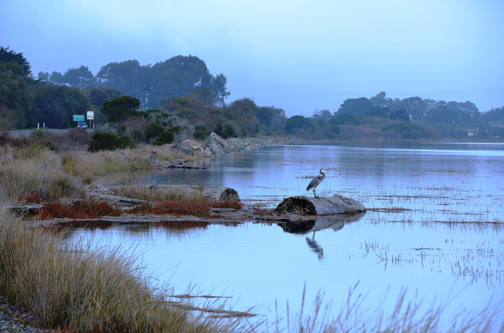
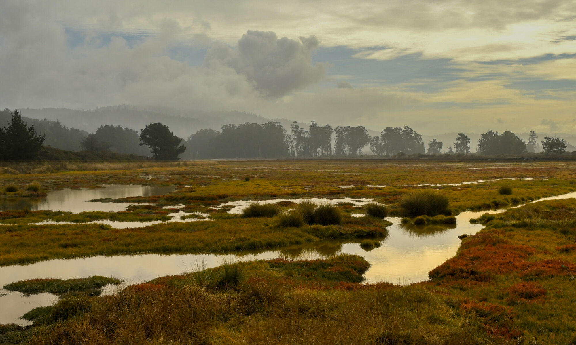
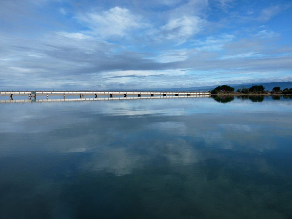
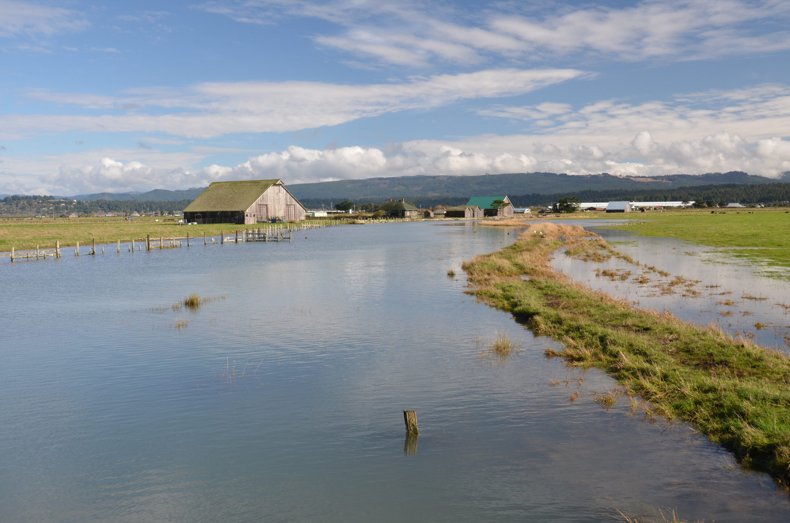
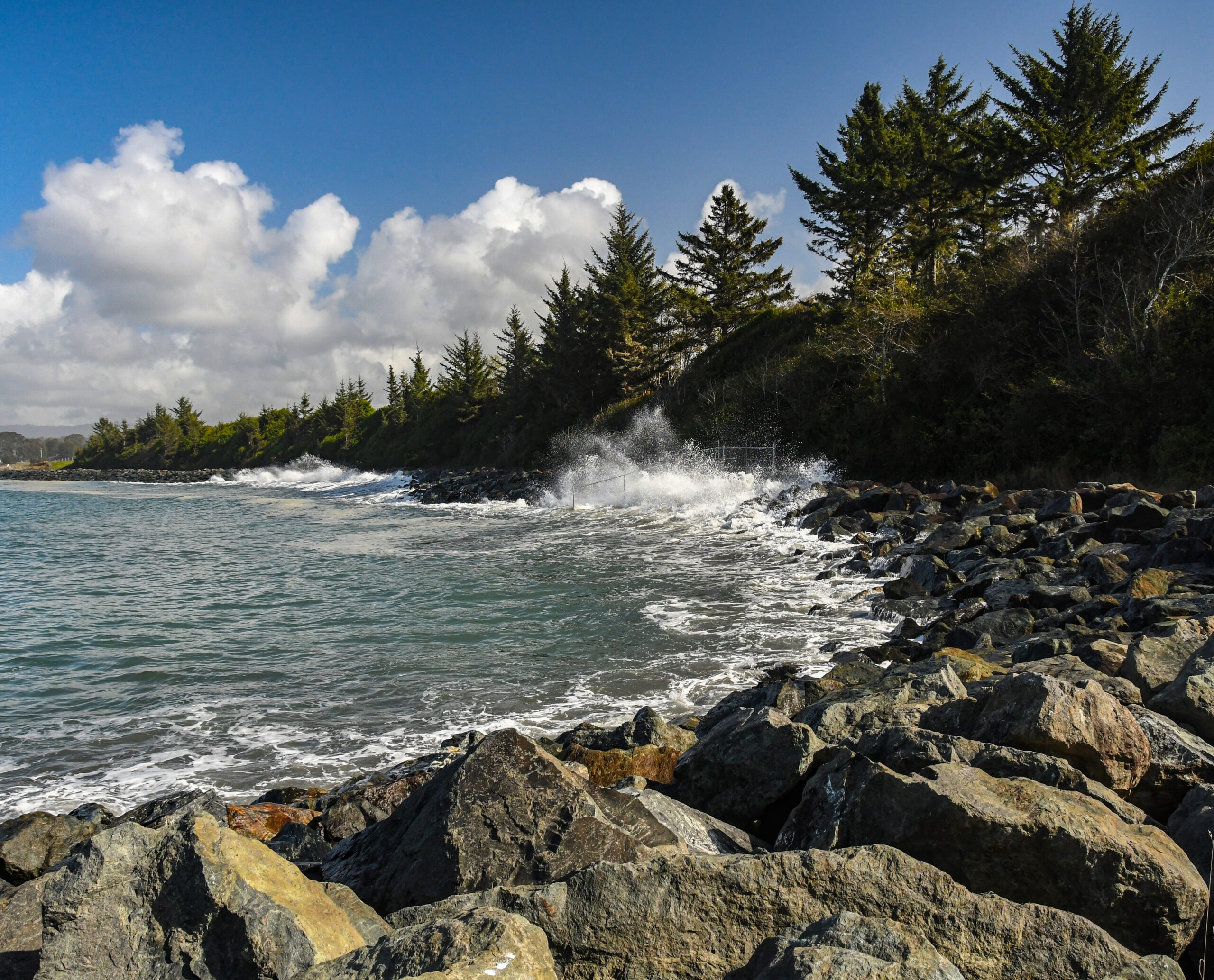
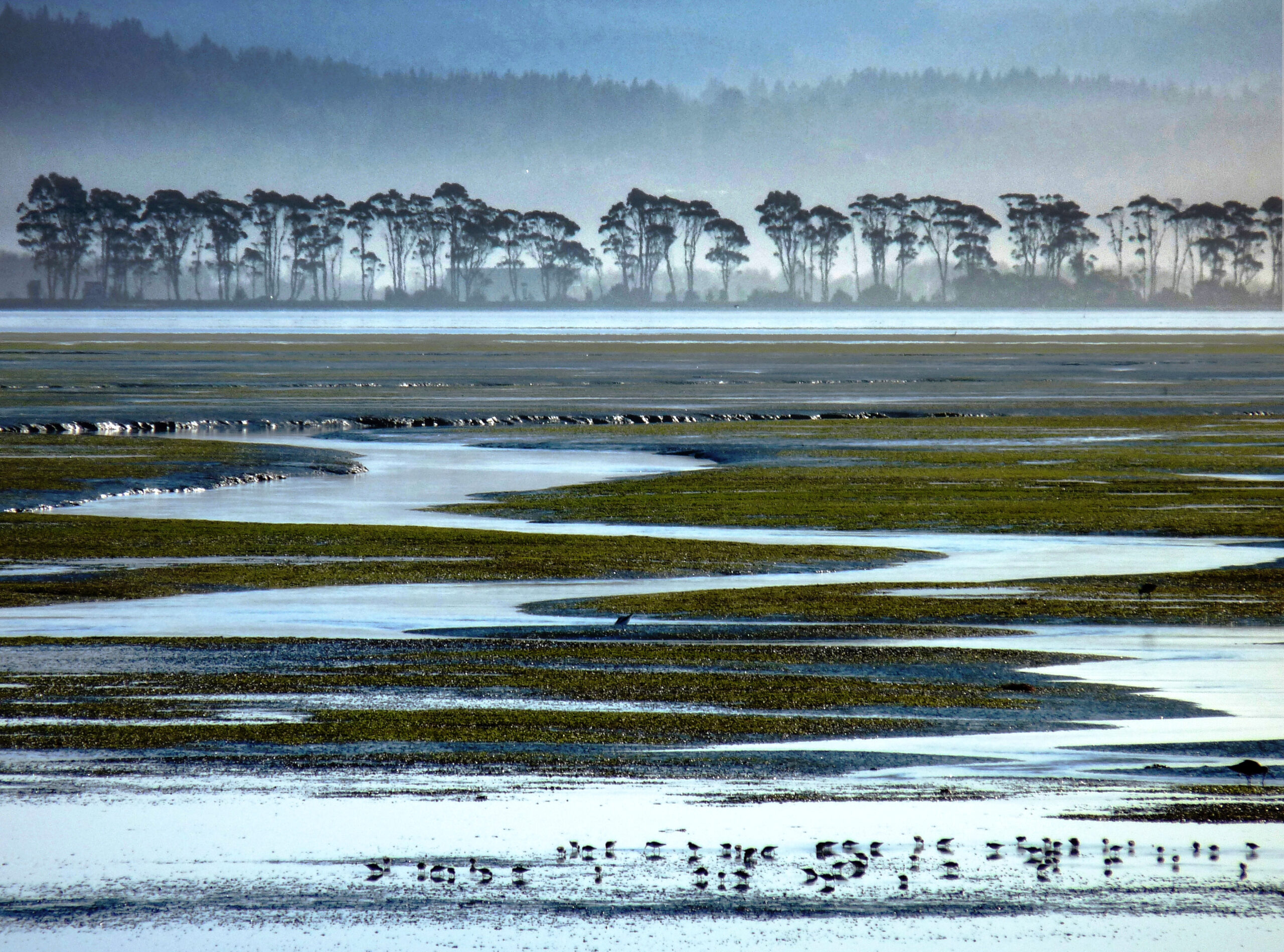
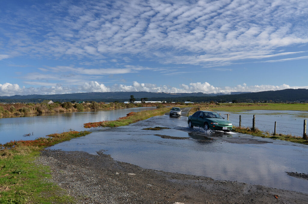
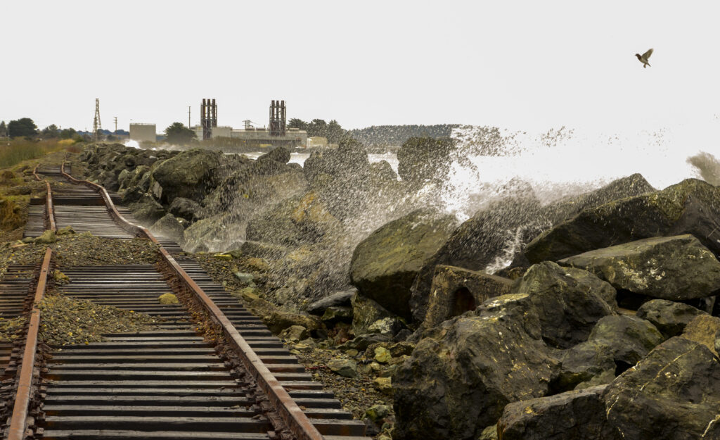
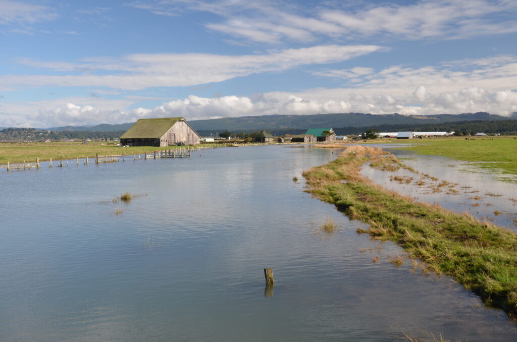
Wigi 1, or Humboldt Bay, is experiencing the fastest rate of relative sea-level rise (SLR) on the U.S. West Coast.2 Portions of residential, agricultural, and ecologically and culturally significant lands surrounding the Bay already flood during king tide conditions. Sea level in Humboldt Bay is projected to rise as much as three feet by 2060, which could lead to severe social, cultural, economic, and environmental consequences without an effective adaptive response. Other coastal areas in the North Coast region face similar risks. Despite these risks, SLR also presents our region with an opportunity to work together and envision a more just and sustainable future.
Vision
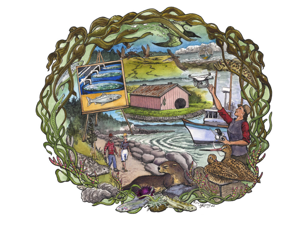
We view sea level rise planning as a “transformative moment” 3 to re-imagine the future of the California North Coast. We envision a diverse network of collaborators working together across disciplines, sectors, and ways of knowing to develop sea-level rise research and planning that informs equitable, sustainable, and community-centered local climate action.
Who We Are
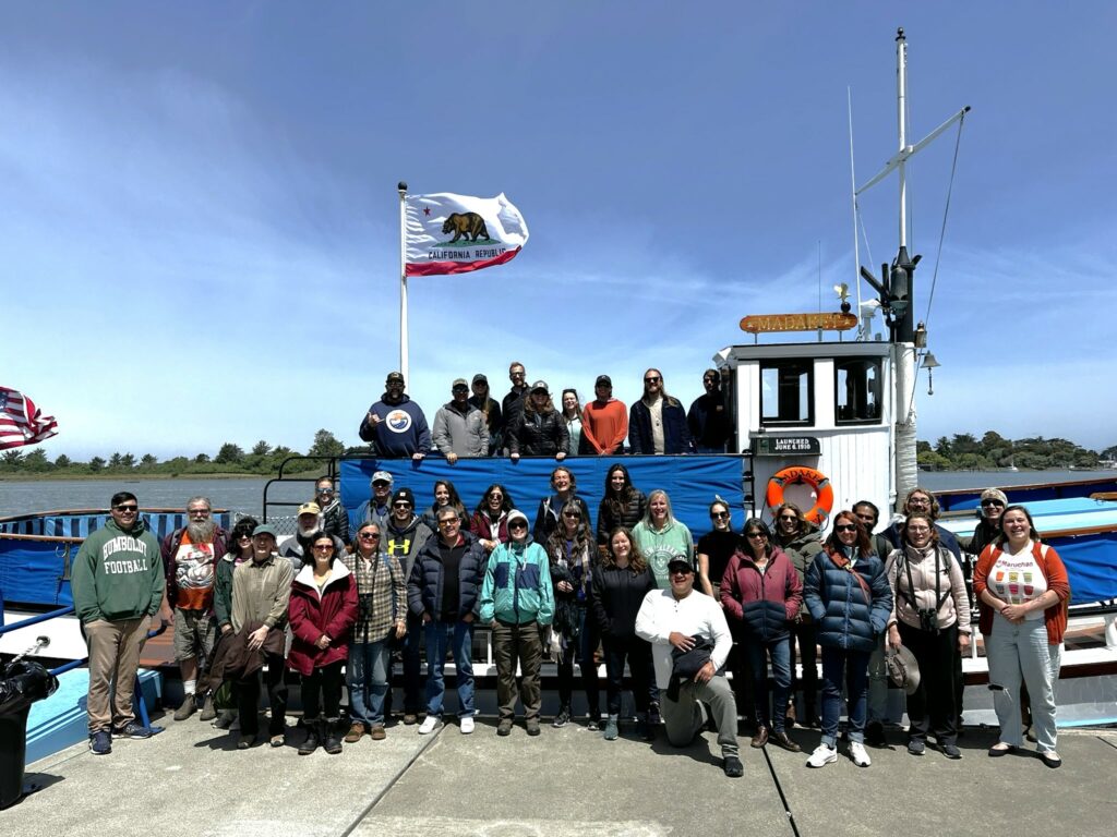
The SLRI formed as a partnership between Cal Poly Humboldt and the Humboldt community in 2018. We take inspiration from the model of civic science, which “weaves together science, story, and community” 4 to address key issues of our time. Our membership includes representatives from academic institutions, tribes, government agencies, NGOs, the private sector, and civic and community groups in the region. Undergraduate and graduate students play a key role in the governance and activities of the institute, helping us to build student capacity to address SLR and climate change.
Values
Collaboration
We believe we can do more and be more effective if we work together, develop partnerships, and center community in our work.
Leadership
Indigenous Peoples must be centrally involved in SLR research and planning on their ancestral territories.5 The SLRI maintains partnerships with local tribes to support their leadership in SLR response.

Interdisciplinary
The spaces of intersection between diverse systems of knowledge (e.g. science, social science, humanities, traditional ecological knowledge, community knowledge) inform our approach to equitable and informed SLR planning.
Justice
Our research and projects contribute to equity-centered and “race aware” 3 SLR research that furthers equity, inclusion, diversity, and justice.
Applicability
The SLRI prioritizes engaged, applied research that can further community goals. We seek to engage our work with policy and decision-making processes at multiple scales.
Education
Our SLR outreach and engagement is a pathway to empower students and communities to be able to fully participate in conversations about the future of their places.
Accountability
The SLRI is composed deliberately as an academic-tribal-community-government partnership, which makes us well-positioned to develop robust research that is accountable to community needs, concerns, and interests.
Goals
1. Build and Maintain a Network
Facilitate opportunities for researchers, community members, leaders, and other partners from and beyond the Humboldt region to share knowledge and ideas about SLR risks and opportunities, collaborate on potential projects, and coordinate activities.
2. Educate Students, Faculty, and the Public
Make information about SLR meaningful and accessible to community partners, government, planners, policy-makers, and the general public. Ensure that SLR research opportunities support the development of Cal Poly Humboldt faculty and students.

3. Focus Attention
Bring attention, expertise, funding, and other resources to the SLR issue in our local area.
4. Develop Collaborative Research
Seek out funding for SLR research projects that support creative and interdisciplinary collaborations, involve the community, and further understanding of this complex issue.
5. Contribute to Best Available Science
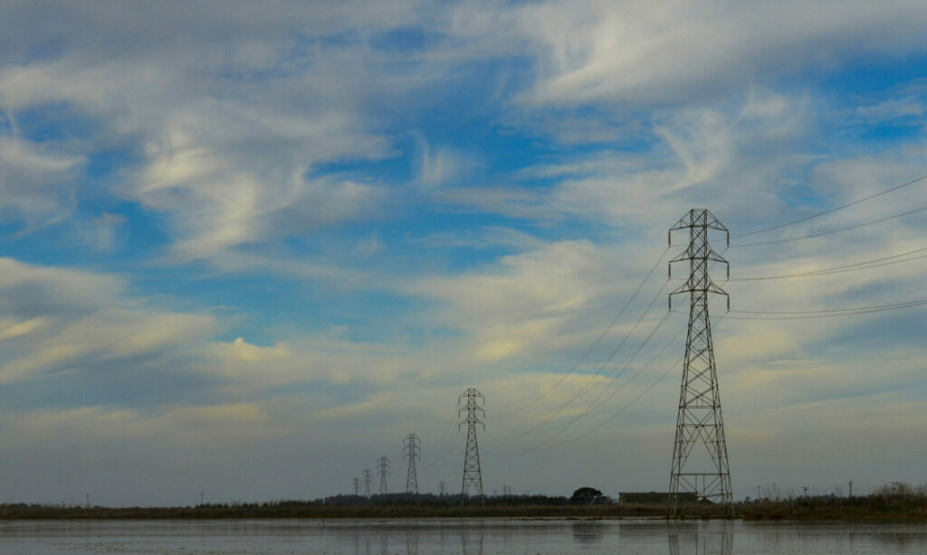
Assure our projects are supported by and contribute to innovations in best available science.
6. Build Capacity
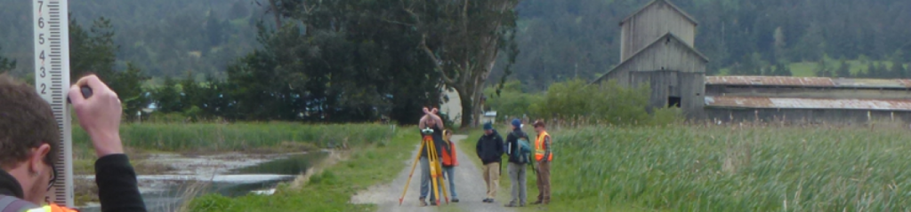
Seek out opportunities to build the local capacity and student talent in our region and help to train the next generation of climate leaders.
7. Keep True
Develop road maps to remain accountable to our vision, values, and goals and to assure that our work is responsive to emergent community needs.
8. Be a Model
Develop a model process for how to build local capacity for just and effective climate action in a rural, underfunded region.
Participation and Affiliation
The Cal Poly Humboldt Sea Level Rise Institute involves Cal Poly Humboldt faculty, staff, graduate students and community members and meets every month or as needed.
Photography generously provided by Aldaron Laird
1 Wigi is the Wiyot place name for Humboldt Bay which is in the ancestral territory of the Wiyot people. Descendants of the Wiyot people are represented in several local tribes including: the Wiyot Tribe, Blue Lake Rancheria, and Bear River Rancheria.
2 Anderson, J.K. 2018. Sea Level Rise in the Humboldt Bay Region – Update 1: March 2018 (Link)
3 Hardy, R. D., Milligan, R. A., & Heynen, N. (2017). Racial coastal formation: The environmental injustice of colorblind adaptation planning for sea-level rise. Geoforum, 87, 62-72.
4 The Land Institute. ND. Civic Science. (Link)
5 Indigenous Peoples have been leaders and innovators in climate adaptation throughout the globe see e.g.: Jones, N. 2020. How Native Tribes Are Taking the Lead on Planning for Climate Change. Yale Environment 360 Feb 11, 2020. Link
